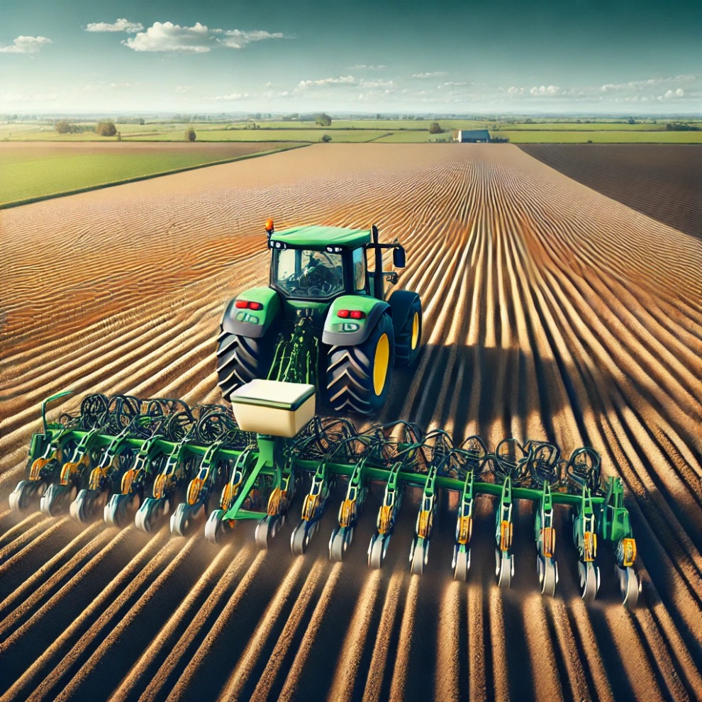


Precision seeding: How agricultural GPS helps to avoid gaps and overlaps
Precision seeding directly affects crop yields, resource conservation and the efficiency of agricultural work. Gaps between rows lead to unused areas of soil, reducing overall yield, while overlaps cause excessive seed consumption and uneven competition among plants for nutrients.
GPS helps to avoid problems by ensuring precise following of the set route, precise seed distribution and automatic row control. This not only increases the efficiency of seeding, but also reduces seed and fuel costs, ensuring uniform crop development.
Sowing without gaps and overlaps: the advantages of agricultural GPS
Precision seeding requires not only high-quality seed material, but also its correct distribution across the field. Errors, such as row displacement or overlapping, can lead to reduced yields and inefficient use of resources. Agricultural GPS solves problems with automated control, allowing you to optimize the seeding process and achieve maximum precision. Benefits of using GPS navigation when sowing are next:
-
automatic row alignment. GPS navigation allows the equipment to move along the optimal trajectory, eliminating deviations and distortions of the rows. This prevents gaps between plants, ensuring uniform crop growth and maximum use of the sowing area;
-
seeder width control. The GPS system accurately calculates working width of seeder, preventing overlapping or gaps between passes. This eliminates overlaps, reduces seed and fertilizer consumption, and optimizes fuel consumption;
-
automatic section shutdown. When working on the edges of the field or in already seeded areas, the system automatically switches off unnecessary sections of the seeder. This prevents double sowing, improves seedlings and helps to avoid overspending seeds;
-
precise route planning. GPS creates an optimal tractor movement pattern, minimizing human error and uneven rows. Thanks to this, sowing becomes more accurate and uniform, which has a positive effect on crop development;
-
data recording and analysis. All sowing parameters are recorded and saved, allowing farmers to analyze the efficiency of sowing work. In the future, this helps to adjust strategies, improve resource allocation and achieve more stable yields.
Using GPS in sowing work allows to control seed distribution as accurately as possible, eliminating gaps and overlaps. This not only reduces sowing costs, but also promotes uniform plant growth, improves seedlings and increases yields. Automation of processes, data analysis and route optimization make the technology indispensable for modern farmers striving for efficient and profitable agriculture.
Why farmers choose FieldBee agricultural GPS for precision seeding?
FieldBee agricultural GPS App https://www.fieldbee.com/app is a reliable solution for farmers who want precision seeding and lower costs. Unlike standard GPS systems, FieldBee uses RTK navigation with an accuracy of up to 2 cm, preventing gaps and overlaps. The system automatically monitors rows, controls sections and optimizes seed distribution, which reduces resource overuse.
Another advantage of FieldBee GPS is the flexibility and convenience of managing seeding operations. Farmers can plot routes, keep digital records and analyze seeding efficiency. The FieldBee app supports the import of cadastral maps and .SHP files, and allows you to draw field boundaries manually. This makes the system an ideal solution for automating seeding, increasing yields and saving resources.